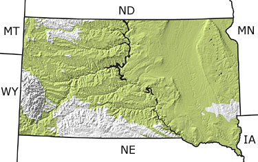
Paleontology and geologyThe Rocky Mountains were forming to the west of South Dakota during the Cretaceous, and erosion of the rising land produced the sediments that form the Lakota and Fall River Formations, now exposed in the Black Hills region in western South Dakota. Later in the period, the land surface was pushed downward by the uplifting Rockies, and the Western Interior Seaway inundated much of the state. This seaway was inhabited by abundant invertebrates, marine reptiles, and swimming birds. Adjacent to the sea, broad coastal plains were interrupted by rivers, lakes and swamps, and were home to dinosaurs, birds, and small mammals. Great coal beds formed from plants accumulating in the swampy areas. Toward the end of the Cretaceous, mountain building progressed eastward, forming successive ranges of mountains, including the Black Hills. Sediments eroding from these ranges were carried by rivers and streams and deposited as deltas. |