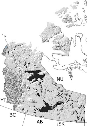
Paleontology and geologyMost of the Northwest Territories was above sea level during the Permian, with the exception of the western side and a few islands in the Arctic Archipelago. Some areas on land were covered with cycads, conifers, seed ferns, and gnetophytes, which left their pollen and spores in sediments that washed out to sea. Marine waters covered the continental shelf on the western side of the territory, as well as a shallow basin in the north. In some places over the Arctic islands, the seas were so shallow that seawater evaporated, leaving behind deposits of salt, gypsum, and anhydrite. In deeper areas, corals, cephalopods, and brachiopods could be found. Many rocks from the Permian have been eroded away or are buried below the surface, but a few exposures can be found in the northwest mainland. Additional exposures may be included in the undifferentiated Paleozoic rocks on this map, and other more detailed maps may show them. |