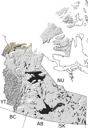
Paleontology and geologyIn the Quaternary, the climate cooled significantly and the modern topography of the Northwest Territories took shape. On the mainland, glaciers developed in the mountains and swept north several times, while independent glaciers formed on some of the Arctic islands. They carved out valleys, scraped up rocks, and redeposited sediments over much of the territory. Their movements left the many landforms we see today, including moraines, eskers, and drumlins. A few places in the northwest and some of the northern islands remained unglaciated through the period. Fossils of land animals are rare in the Northwest Territories, but remains of mammoths and bison that lived on the tundra have been found in these areas. Marine deposits that formed when seas were higher can now be found on several islands in the Arctic Archipelago, and some of the sandstones and shales contain bivalves, walruses, and bowhead whales. |